Locus Map for Amateur Radio: Offline Navigation for Field Operations and Emergency Communications
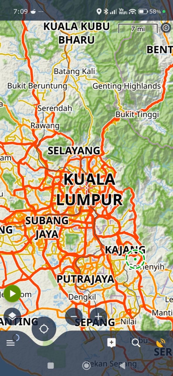
You do not need a spectacular expedition to discover the weakness of online maps. Drive beyond the last village, walk into a forest, climb above the nearest cell tower, or land on a small island, and the familiar blue map tiles can disappear. The GPS receiver may still know where you are, but the map application may have nothing useful to display.
For amateur radio operators, that gap matters. A portable station often sits in the same places where mobile coverage becomes unreliable: mountain summits, forest trails, beaches, islands, remote roads, disaster areas and temporary emergency-communications sites. You may need to find the operating position, follow a safe approach route, mark a repeater or shelter, record the route home, or guide another operator to a checkpoint.
Locus Map is a mobile outdoor navigation app built around maps, navigation, route planning, track recording and offline use. With maps downloaded before departure, your phone can continue to show roads, trails, contours, points of interest and your GPS position when the internet is unavailable. That makes it a useful companion for SOTA activations, IOTA trips, portable contests, field days and amateur-radio emergency operations.
This article explains how radio operators can use Locus Map as part of a prepared field kit.
What Is Locus Map?
Locus Map is an outdoor navigation platform for Android, with Locus Map LITE available for iOS. The service provides access to different map sources, route planning, navigation, track recording, route import and export, points of interest, and offline maps. Its website also provides a web route planner and a live-tracking service.
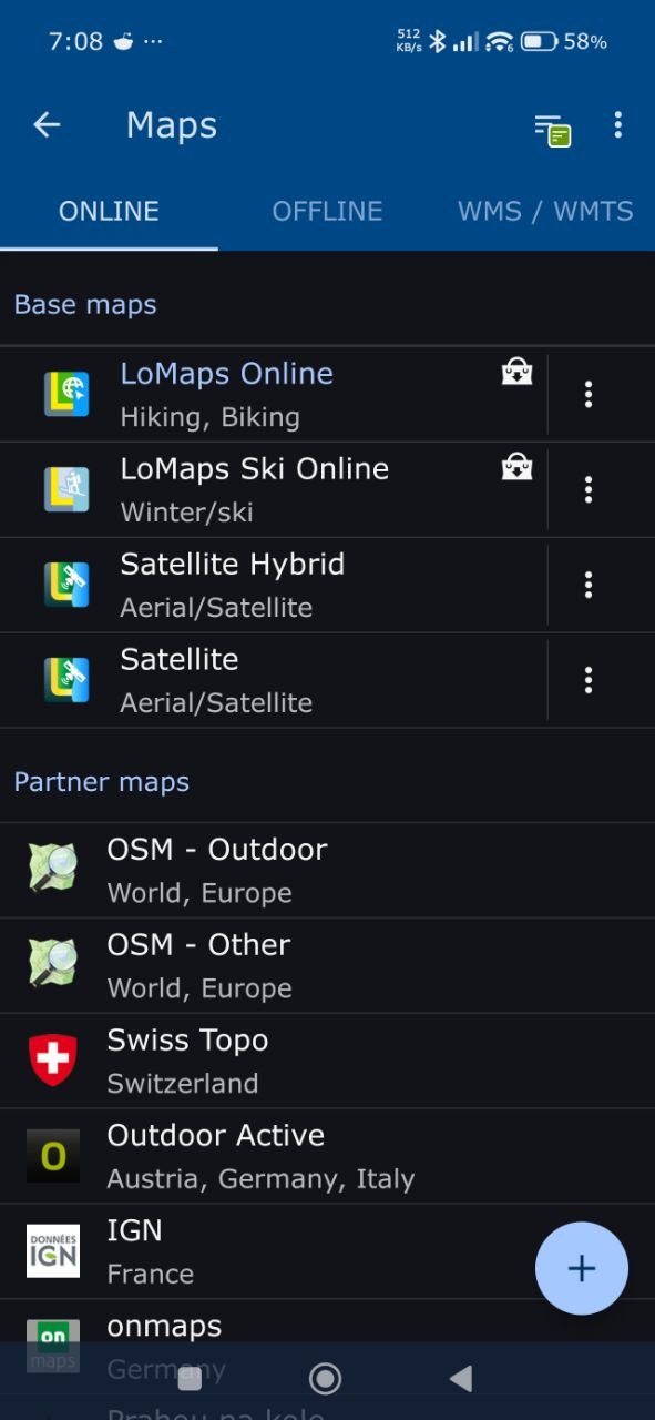
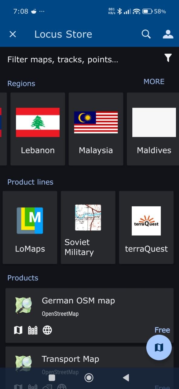
The app supports several kinds of outdoor mapping. Depending on the country and map provider, you can work with hiking maps, cycling maps, topographic data, aerial imagery, OpenStreetMap-based vector maps, elevation information and specialist national mapping products. Locus Map lists LoMaps as worldwide OpenStreetMap-based offline vector maps with addresses, points of interest, elevation data and switchable map themes.
That flexibility suits amateur radio because a radio outing rarely follows one type of route. A SOTA operator may need a topographic map and contour lines. A portable HF operator may care about access roads, clearings and land boundaries. A public-service team may need street addresses, buildings, trails and a clean way to mark checkpoints. An IOTA operator may need a combination of coastal mapping, roads, footpaths and boat-landing information.
Why Offline Maps Matter to Amateur Radio
An internet connection and a GPS receiver do different jobs. GPS can calculate your position from satellites without mobile data. An online map service still needs a network connection to download the map around that position. If the map tiles are not stored on the phone, the blue location marker may move across a blank screen.
Offline maps remove that dependency. You download the required area before leaving home, then use the stored map while the phone receives positioning data from satellites. Offline routing lets you plan or follow routes without waiting for a server to calculate every turn.
This matters in field operations for several practical reasons:
- Coverage changes quickly. A road can have a signal while the trailhead, summit or operating position has none.
- Networks become congested. During storms, public events or disasters, a working cell tower may have more demand than it can handle.
- Roaming and remote travel cost money. An island expedition or international trip may involve expensive data roaming.
- Battery use increases with constant data access. Downloading map tiles and repeatedly searching for routes can consume power when you need the phone for logging, messaging or photography.
- The internet may fail during the incident. Amateur radio often serves communities precisely when normal communications have become unreliable.
Offline mapping does not make the phone independent of every failure. You still need battery power, a working GPS receiver, downloaded data and a way to protect the device. It does give you a reliable geographic reference when the map server is out of reach.
Locus Map for Summits on the Air
SOTA combines radio, hiking and route-finding. The summit reference tells you which summit you plan to activate, but the reference does not replace a safe approach plan. You still need to understand the access road, trail network, distance, elevation gain, terrain and likely return route.
Plan the approach before leaving
Use Locus Map at home or in a connected area to inspect the approach. Look for:
- The nearest road access and parking area
- Trailheads, gates, bridges and junctions
- Contour lines and the steepest sections
- Shelters, huts, water sources and other useful points of interest
- Alternative descent routes
- Places where a team member could wait or where a vehicle could meet you
Draw or import the intended route, then save it to your library. Locus Map’s route planner can show elevation information, road surfaces and route types, which helps you decide whether the planned approach matches your equipment and daylight window.
Carry the route offline
Download the map area at several useful zoom levels. A broad view helps you understand the mountain and nearby roads. A detailed view helps you follow the final trail and identify junctions. Open the downloaded map in airplane mode before departure and test the route while you still have time to fix a problem.
During the activation, record the actual track. The recorded route can show where you walked, where you stopped, and how long the approach took. After returning, export the track for your own notes, a club trip report or future activators. Do not publish sensitive access information if landowners, conservation rules or local safety concerns make that inappropriate.
Mark the operating position
Create a point for the actual radio position, especially if you move away from the main trail to find a safer or more practical operating site. Add a note such as the summit reference, antenna direction, shelter location, water source or return-route warning. A saved point gives you a way to retrace your steps if fog, darkness or poor visibility changes the landscape.
Locus Map does not replace the SOTA rules or the official SOTA database. Confirm the summit reference, activation zone and operating requirements from the official SOTA website before the trip.
IOTA and Island Portable Operations
IOTA trips create a different navigation problem. The radio operator may understand the island reference and the planned station, but still need to move through an unfamiliar harbour, village, coastal path or private access area. Internet access may be weak, expensive or limited to one hotel or port.
Before the trip, download the island and nearby mainland maps. Mark the ferry terminal, accommodation, vehicle access, launch point, beach, operating area and emergency meeting point. If the island has a small road network, offline routing can help you reach a trailhead or move equipment without repeatedly searching online.
Coastal mapping also helps you distinguish a promising operating location from a risky one. A map can show roads, trails, cliffs, built-up areas and terrain, but it cannot guarantee safe access, legal permission or current conditions. Confirm local rules with the relevant authorities and landowners. Treat the map as a planning aid, not as permission to cross restricted land.
For an IOTA team, shared route files can reduce confusion. Prepare a GPX route with agreed points for the operating site, transport route and fallback location. Send the file to team members before departure and keep a copy on more than one device. That gives the team a common geographic reference even when they cannot reach a cloud service.
Portable HF, VHF and UHF Field Stations
Locus Map works well beyond SOTA and IOTA. A portable operator may carry a transceiver, battery, antenna, mast, tuner, laptop, charger and safety equipment to a park, lakeside, plantation, beach or hilltop. The shortest route on a road map may not be the best route for a vehicle loaded with equipment.
Use a detailed map to identify:
- Vehicle-accessible clearings
- Gates, bridges and rough road sections
- Parks, picnic areas and public facilities
- Nearby buildings or high ground that may block or improve propagation
- Paths suitable for carrying equipment by hand
- Alternative locations if the first site becomes unsafe or unavailable
Record the route from the vehicle to the station. If another operator arrives later, you can share the saved track or guide them using marked points. The track also documents how far equipment had to be carried, which helps you improve the next field setup.
For VHF and UHF work, mark repeater sites, event checkpoints and known operating positions. A map point can include a frequency, tone, callsign or access note, but do not treat the map as a substitute for a current band plan or repeater directory. Frequencies change, and local coordinators may publish updates after you download the map.
Emergency Communications and Public-Service Events
Emergency communications teams often work in an information environment that changes by the hour. Roads close, bridges become unsafe, shelters open, search areas expand and volunteers move between checkpoints. A printed map remains valuable, but a GPS-enabled offline map adds a live position, route recording and fast point marking to the team’s toolkit.
Before an incident
Emergency mapping starts before the emergency. A club or response group can prepare offline map packages for its operating area. Include the town, surrounding rural roads, hospitals, fire stations, police stations, shelters, evacuation routes, bridges, access tracks and likely staging areas.
Keep the package on several phones and power banks. Test it in airplane mode. Confirm that the map still displays detail at the zoom levels the team needs. A map that works only at home on Wi-Fi has not passed an operational test.
During an operation
An operator can use Locus Map to:
- Navigate to a checkpoint without mobile data
- Mark the location of a welfare centre, shelter or supply point
- Record a vehicle or foot patrol route
- Share a GPX track with another team member
- Keep a record of where a search team has travelled
- Mark hazards, blocked roads and temporary access points
- Find an alternative route when the planned road becomes unusable
- Provide coordinates to net control over voice or digital radio
The last item needs care. Different organisations use different coordinate formats and datums. Agree on a standard before the operation. When passing a position over radio, identify the format clearly, repeat important figures and confirm the receiving station’s readback. A map app can show a coordinate, but disciplined radio procedure prevents transcription errors.
Search and rescue support
Locus Map’s website includes a dedicated page about support for search and rescue. The app’s mapping, navigation, track recording and point-management functions fit several SAR tasks, including route planning, team movement records and location sharing. A volunteer team should still follow the incident commander’s mapping system and use the agency’s approved tools where required.
Amateur radio operators should not enter a search area simply because a map shows a trail. Weather, terrain, water level, land access and instructions from the responsible agency take priority. The map supports the operation; it does not replace trained leadership, personal protective equipment or a formal safety plan.
Free Locus Map licenses for SAR organizations
Locus Map also runs a support programme for Search and Rescue organizations. The programme provides full-featured Locus Map 4 Premium licenses to active members of approved SAR teams around the world. This can help an organization equip volunteers with the same offline mapping and navigation tool without asking every member to purchase a separate subscription.
According to the programme terms, an eligible organization can receive:
- Locus Map 4 Premium Silver free for two years for all active team members, with possible renewal, up to a maximum of 100 licenses per organization
- Locus Map 4 Premium Gold free for two years for one senior executive, with possible renewal
- A 40% discount on two-year Premium Annual Silver and Gold licenses ordered above the free-license limit
The company issues the licenses through vouchers directly, without Google Play involvement. That matters for teams using phones without Google services, including newer Huawei devices. A SAR organization can therefore activate Premium mode on supported devices even when Google Play Services is not available.
The offer includes several responsibilities. The organization must add the Locus Map logo and a link to locusmap.app on its website, publish regular social-media posts about using the app with the hashtag #locusmap, and publish an article about its experience. Within one year, the organization must also report how it used the application and whether the deployment met its needs. Locus Map may quote parts of that report in its own website or social-media communication.
SAR organizations should apply using the application form and the contact address listed by Locus Map, currently [email protected]. The organization should confirm the latest conditions, eligibility requirements and application process before submitting information. Amateur-radio clubs that only run field days, contests or SOTA trips should not present themselves as SAR teams to obtain the offer. They can still use the normal Locus Map plans and recommend the SAR programme to a genuine rescue organization they support.
For an amateur-radio emergency-communications group that works inside a recognized SAR organization, this programme could reduce the cost of standardizing field mapping. The team can prepare a common offline map package, train members on the same navigation workflow, and use the same route, point and coordinate procedures during exercises and deployments.
A Practical Pre-Deployment Checklist
Prepare Locus Map as part of the station, not as an app you install in the car park.
- Install Locus Map from the official download page and configure the app as needed.
- Select the map sources that match the trip: topographic, hiking, road, aerial or OpenStreetMap-based maps.
- Download the full operating area for offline use, including the approach road and fallback locations.
- Import GPX routes for the hike, vehicle journey, patrol or event circuit.
- Add points for the station, trailhead, repeater, shelter, meeting point, water source and emergency access.
- Check that offline routing and map display work with mobile data and Wi-Fi disabled.
- Record the expected map datum and coordinate format in the team briefing.
- Carry a power bank and keep the screen brightness as low as practical.
- Carry a paper map and compass for backup.
- Review access permissions, weather, local regulations and the responsible organisation’s operating plan.
The test in step six catches a common mistake: downloading a route but forgetting to download the map around it. The line may appear in the library while the background remains unavailable in the field.
Locus Map Is a Companion to the Radio Station
Locus Map does not transmit APRS packets, replace a handheld radio or provide a complete incident-management system. Its value comes from filling the geographic part of the field kit. The radio carries instructions and position reports. The map gives those reports context.
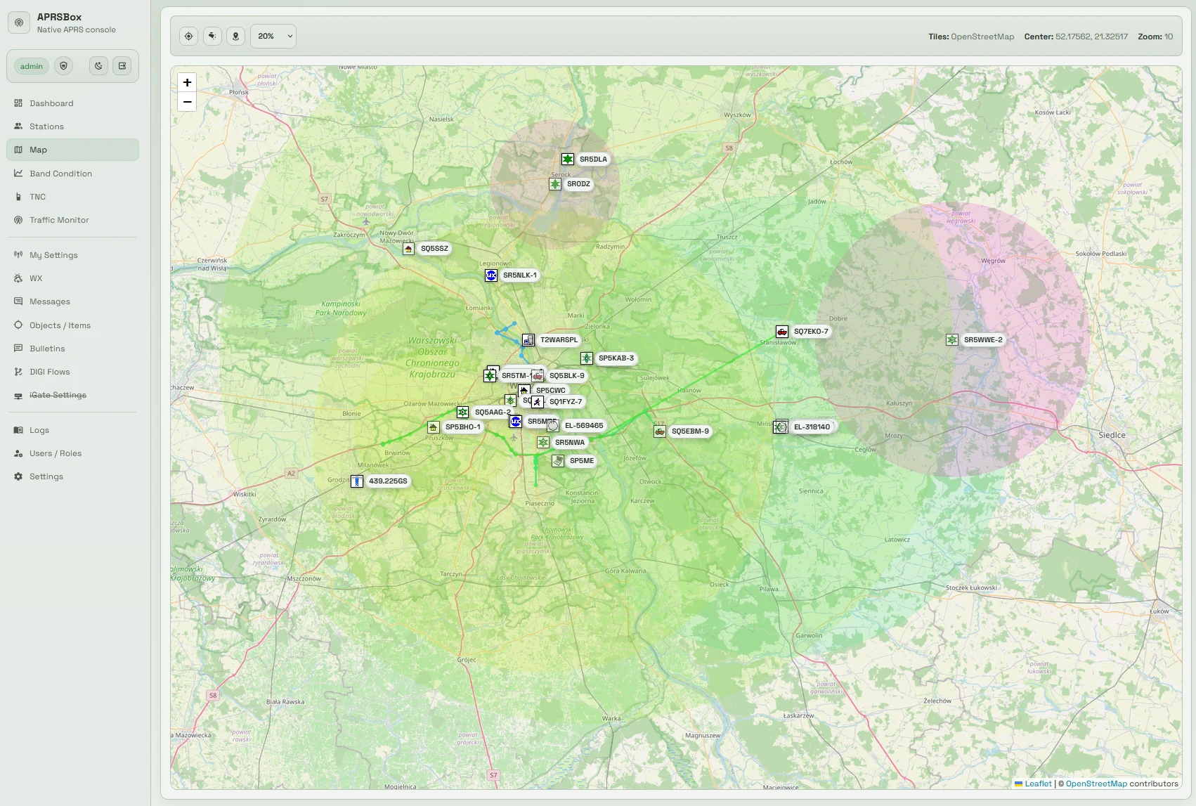
For example, an APRS station may report a vehicle at a coordinate. A voice net may describe a blocked road. A field operator can place that information into Locus Map, compare it with the available routes, and guide the next team to a safer access point. The radio remains the communications link. Locus Map becomes the shared geographic notebook.
| Task | Useful tool | Locus Map’s role |
|---|---|---|
| Voice coordination | VHF, UHF or HF radio | Display the location or route being discussed |
| Position reporting | APRS or another digital mode | Plot received coordinates when supported by the workflow |
| Route finding | GPS and offline map | Plan, navigate and record movement |
| Incident records | Net log or agency system | Add map points and export tracks when permitted |
| Navigation backup | Paper map and compass | Continue if the phone or battery fails |
Limitations to Understand
Offline mapping is powerful, but it depends on preparation. Map data can be outdated. A trail may have moved, a road may be closed, or a private boundary may not appear clearly. GPS accuracy can degrade under dense forest, beside cliffs or near tall buildings. A phone can overheat, lose power or suffer screen damage.
Download current data, check critical routes against local information, and carry a paper map and compass. For emergency work, follow the mapping and reporting requirements of the agency in charge. Do not upload a team’s live location, shelter locations or sensitive operational data to a public service without permission.
Also check the Locus Map licensing and feature availability for your platform and region. The official site provides the current Android and iOS download links, documentation, route planner and service information.
Why Amateur Radio Operators Should Try It
Amateur radio takes you away from dependable infrastructure. That is the point of a summit activation, a remote island contact, a portable HF experiment and much of emergency communications. The same choice that makes the radio outing interesting can make online navigation unreliable.
Locus Map lets you prepare for that environment. Download the maps while you have a connection. Plan the route before you start walking. Mark the station and fallback points. Record what you actually travelled. Then, when the phone shows no bars, the map can still show the ground around you.
For a SOTA operator, it can turn a summit reference into a practical approach plan. For an IOTA team, it can keep an unfamiliar island understandable. For an emergency-communications volunteer, it can provide a local geographic reference when public networks are congested or unavailable.
Visit locusmap.app to download the app and read the current feature information. Test it on an ordinary portable outing before you depend on it for a difficult activation or emergency deployment.
73, and plan the route before you key the microphone.


Post Comment