amateur radio
open source
9M2PJU, ADS-B, AFRL, AIS, APRS, AREDN, ARES, ATAK, Beartooth, CERT, CoT, Cursor on Target, DHS, Docker, EmComm, emergency communications, FreeTAKServer, hamradio.my, iTAK, meshtastic, Nett Warrior, OpenTAKServer, public service, RACES, raspberry pi, search and rescue, self-hosting, situational awareness, SOCOM, TAK, TAKX, WebTAK, wildland fire, WinTAK
9M2PJU
3 Comments
Self Host a TAK Server with 9M2PJU OpenTAKServer Docker Stack
If you have ever watched a search-and-rescue team coordinate on a paper map while radios crackle with conflicting position reports, you already understand why TAK exists. The Team Awareness Kit was born out of a US Department of Defense need to put every friendly dot, soldiers, medics, vehicles, drones, on one shared, live map that everyone could see at once.
That idea escaped the military years ago. Today, TAK runs on Android phones, Windows laptops, iOS handhelds, and in a web browser, and it has quietly become a standard tool for first responders, search and rescue, emergency management, wildland firefighters, and, increasingly, amateur radio operators doing public service and disaster communications.
The catch has always been the server. The official TAK Server is Java-heavy, fiddly to install, and gated behind a download portal. So when a clean, open-source alternative appeared, a lot of us paid attention. And when that alternative got a one-command Docker deployment, it became genuinely usable for a ham with a VPS and an afternoon.
That deployment is 9M2PJU OpenTAKServer Docker, a Docker Compose stack that wraps OpenTAKServer (OTS) into three containers you can stand up in minutes. It is dockerized and maintained by 9M2PJU, the same Malaysian amateur behind hamradio.my.
Before we get into the stack, though, it helps to know where TAK came from and what it has already done in the field. The story is worth telling, because it explains why a piece of military software ended up running on a Raspberry Pi in a ham’s shack.
Last updated: July 2026.
A Short History of TAK
Cursor on Target, 2002: The Protocol That Started It All
TAK rests on a foundation older than the apps themselves: the Cursor on Target (CoT) message standard. CoT is a terse XML schema for describing “things with a position and a type”, what, when, and where, and it was conceived on June 18, 2002 at MITRE, the federally funded research and development center that works alongside the US Air Force.
The story, as told by one of its creators in the NPS Cursor on Target Developer’s Guide, is that MITRE was handed a problem about sharing time-sensitive position data between systems that were never designed to talk to each other. The original working name was “STP,” for Space-Time Pieces. Within a month, a prototype existed. The name came from a speech by General John Jumper, then US Air Force Chief of Staff, who said “the sum of all wisdom is a cursor over the target.” MITRE adopted the phrase, and Cursor on Target was born.
CoT’s genius was its simplicity. Where older military messaging standards ran to thousands of pages and took decades to partially implement, CoT was a small, extensible XML schema that any system could produce and consume with no central registry. It spread organically. Today it is a formal DoD interface standard (MIL-STD-6016 lineage), and more than a hundred tactical systems speak it natively or through adapters.
ATAK, 2010: From Research Project to “Tactical Operating System”
The Android Team Awareness Kit, ATAK, began in August 2010 at the US Air Force Research Laboratory (AFRL) in Rome, New York. It was built on top of NASA’s WorldWind Mobile codebase, and the original goal was modest: demonstrate robust information sharing in a mobile format on commodity Android phones and tablets.
The early driving need came from US Special Operations Command (SOCOM), which wanted better situational awareness for the individual operator. ATAK gave them a commercial-off-the-shelf smartphone running government-owned software, a vast cost reduction over the heavy, bespoke systems that came before. The first academic paper on ATAK was presented at the SPIE Defense, Security, and Sensing conference in April 2015.
Development was slow at first, then accelerated rapidly from 2016 onward. The US Army adopted ATAK as the foundation for its Nett Warrior program, replacing expensive purpose-built hardware with a smartphone running government-owned code. In 2014, the US Army Geospatial Center recommended ATAK over Esri’s Commercial Joint Mapping Toolkit for the dismounted soldier mission.
The software is now maintained by the TAK Product Center, an intergovernmental group based at the Army’s C5ISR Center at Fort Belvoir, Virginia. As of late 2025, the TAK ecosystem has grown past 500,000 users and is increasingly described as the “tactical operating system” for modern warfighters.
From Military to Civilian: The Team Awareness Kit
Here is where the story matters for the rest of us. AFRL deliberately split TAK into two flavours:
- Tactical Assault Kit, the military version, used by DoD and allied forces for combat operations, close air support, and special operations. This is the “ATAK” name you’ll see in defense contexts.
- Team Awareness Kit, the civilian version, sometimes labelled ATAK-CIV, available at no charge to government, public safety, and (for the basic civilian build) the general public through tak.gov and the Google Play Store.
The civilian build drops the secure military features but keeps the robust mapping, team tracking, chat, overlays, and plugin architecture. That is the version that escaped into wildland firefighting, emergency management, search and rescue, and amateur radio.
The TAK Family: Clients and Server
TAK is no longer just an Android app. It has grown into a family of interoperable clients, all speaking CoT, all able to share the same common operating picture.
- ATAK, the original, for Android phones and tablets. The most mature and feature-rich client. Plugin architecture for mission-specific capability (direct action, combat advising, law enforcement, border security, disaster response, off-grid comms, precision mapping). Current stable release is in the 5.x line.
- iTAK, the iOS port, for iPhone and iPad. A subset of ATAK capabilities: maps and imagery, overlays, chat, video, blue force tracking, navigation, team emergency beacons. Released on the Apple App Store in April 2021. Requires iOS 17 or later.
- WinTAK, the Windows client, for laptops and command-post workstations. Particularly useful for net control and EOC positions where you want a bigger screen and a keyboard. Made publicly available in September 2020.
- TAKX, a cross-platform client (including Linux), developed by CTIC. Brings spectrum visualization and network survey tools into the TAK ecosystem, and is designed for contested, denied, and standalone environments. TAKX is the merger of two earlier Windows command-and-control platforms, WinTAK and RaptorX.
- WebTAK, the browser-based client, developed by the Defense Threat Reduction Agency (DTRA) and transitioned to the TAK Product Center in June 2022. Lets teams collaborate on a common operating picture from any browser, with no client install. Particularly useful for command posts, interagency coordination, and remote leadership.
- TAK Server, the hub. Routes CoT messages between clients, manages certificates and users, hosts data packages and missions, and provides the Web UI for administration. The official TAK Server is the Java-heavy one; OpenTAKServer and FreeTAKServer are the open-source alternatives.
All of these are Government off-the-shelf (GOTS) software, free of charge for government and public safety use, with unlimited rights and open-source coding. The plugin architecture means anyone in government, local, state, or federal, can extend TAK for their mission, and a growing commercial ecosystem (Booz Allen, CTIC, Riskaware, GoTAK, and others) builds plugins and hosted services on top.
The key point: any TAK client can talk to any TAK server, because they all speak CoT. An ATAK phone in the field, a WinTAK laptop at net control, and a WebTAK browser at the EOC all share the same picture. That interoperability is the whole point of the architecture.
What TAK Actually Is, in One Paragraph
TAK is a situational-awareness platform. Every participant runs a client that streams its position and any markers, chat messages, photos, and overlays it creates to a central server. The server fans all of that back out to every other participant. The result is a shared live map: you see your team, they see you, and anyone can drop a marker for a hazard, a checkpoint, a casualty, a repeater location, or a missing person that everyone else picks up instantly. The protocol carrying all this is CoT, the same XML schema MITRE sketched out in 2002.
For amateur radio, the obvious fit is ARES, RACES, and public service events: marathons, parades, bike rides, and the kind of disaster deployments where you need to know where your field operators actually are, not where you hope they are.
TAK in the US Government and Public Safety
To get a sense of what TAK is, it helps to look at who is already using it at scale. The civilian side of TAK is not a hobbyist experiment, it is a mature, government-funded platform with a decade of real-world deployments.
Military and Special Operations
TAK began in SOCOM and the Air Force, and the military remains its largest user base. The combat version (Tactical Assault Kit) is used for:
- Close air support, TAK grew out of the problem of fratricide in close air support, the nightmare scenario where a pilot strikes friendly forces. Sharing a single, live picture of every friendly dot on the ground is how you stop that.
- Dismounted situational awareness, the Nett Warrior program puts ATAK on a smartphone strapped to a soldier’s chest, showing every member of the squad and every friendly unit in the area.
- UAV integration, live drone feeds on 3D terrain, with the drone’s position on the same map as the ground team.
- Parachute operations, the Air Force uses TAK to improve the precision of static-line and free-fall jumps.
- Robotics control, plugins exist for controlling ground robots and other unmanned systems from within ATAK.
- Coalition interoperability, because CoT is an open standard, allied forces can share a picture without buying the same software.
Department of Homeland Security and Disaster Response
The DHS Science and Technology Directorate has been the bridge that carried TAK from the battlefield to the home front. The DHS TAK white paper describes it as “technology transforming from the battle zones to the front lines of DHS Components and Public Safety Agencies.”
The milestone deployments:
- Hurricane Harvey, August 2017, DHS S&T deployed ATAK to support the multi-jurisdictional response in Texas. The flood zone was vast, the responders were from many different agencies, and ATAK gave them one shared picture.
- Hurricane Florence, September 2018, AFRL teamed with FEMA, the National Guard, the Cajun Army (a volunteer civilian rescue group), Customs and Border Protection, and DHS. ATAK provided live video feeds, personnel tracking, image sharing, site surveys, augmented reality, geospatial mapping, navigation, and chat. AFRL’s own account describes it as “life-saving, real-time mobile capabilities.”
The pattern in both storms was the same: cellular networks were overloaded or down, agencies could not talk to each other by radio, and a shared map on a smartphone became the coordination tool that voice alone could not be.
Wildland Firefighting: WFTAK
The US government runs a dedicated TAK service for wildland fire: WFTAK, hosted by the National Interagency Fire Center. WFTAK puts a military-grade TAK Server in a secure cloud and gives wildland firefighters ATAK on their phones with AES-256 encrypted connections. Firefighters see the near-real-time location of other resources, fire perimeters, weather, and incident overlays on one map. The WFTAK history page notes that TAK has been under continuous development by the DoD and federal agencies since 2010.
Colorado: COTAK, a Statewide TAK Service
Colorado went further than most states. The Colorado Team Awareness Kit (COTAK) is a statewide, enterprise-scale TAK service run by the Center of Excellence for Advanced Technology Aerial Firefighting, part of the Colorado Division of Fire Prevention and Control. It went live in August 2024 and is available at no cost to all Colorado public safety agencies.
COTAK’s backstory is instructive. Between 2018 and 2022, the CoE ran beta testing with over 75 Colorado public safety agencies across wildfires, search and rescue missions, large public festivals, and other incidents. In 2022, the Colorado legislature passed SB22-206, directing the CoE to build an enterprise-scale TAK server for first responders across the state. The result is a real, taxpayer-funded, statewide TAK deployment, the kind of thing that would have been unthinkable a decade ago.
DTRA and WebTAK
In June 2022, the Defense Threat Reduction Agency transitioned WebTAK to the TAK Product Center. At the time, the TAK ecosystem had roughly 250,000 users; by late 2025 it had passed 500,000. WebTAK gave agencies a browser-based client for command-post and interagency work, and it has been used for everything from California wildfires to hurricanes to global military operations.
The Takeaway
The point of reciting all this is not to impress you with government acronyms. It is to make a simple point: TAK is not a toy, and it is not a weekend project someone hacked together. It is a battle-proven, government-funded, openly developed platform with hundreds of thousands of users across the military, federal agencies, state governments, and volunteer organizations. When you stand up an OpenTAKServer, you are plugging into that same ecosystem, using the same protocol, with the same clients your local fire department and state EOC may already be running.
TAK for Amateur Radio: ARES, RACES, SAR, and Public Service
This is the part that matters for hams, and it is where the civilian TAK ecosystem has quietly become genuinely useful. There are now several years of documented amateur-radio TAK deployments, and the pattern is clear: TAK fills the gap that voice-only net control has always had, which is that nobody can actually see where anyone is.
Emergency Communications (EmComm)
During disasters, floods, wildfires, hurricanes, earthquakes, hams relay messages, track resources, and support relief teams. ATAK on a phone or tablet gives an EmComm team:
- Real-time positions of every operator on a shared map, instead of a voice roll call every half hour.
- Markers for critical locations, shelters, aid stations, hospitals, damaged infrastructure, road closures, staging areas, that every operator sees the moment they are dropped.
- Live weather and fire perimeter overlays for situational context during wildfire and storm responses.
- Chat over connected data radios or LTE, so net control can send a message without breaking voice traffic.
- Photo and file sharing, a field operator can photograph a damaged bridge or a downed power line and push it to the COP instantly, with the location attached.
The traditional EmComm weakness is that net control is blind: operators call in their positions by voice, net control writes them on a paper map, and the picture is always five minutes stale. TAK makes the picture live.
Search and Rescue
SAR is where TAK’s value is most obvious. A SAR incident is fundamentally a geospatial problem: you have a search area, you have teams, and you need to know which parts of the area have been covered and where the teams are right now.
With TAK:
- Field teams show up as live dots on the incident map at base camp.
- Search segments can be drawn as overlays and assigned to teams; when a team completes a segment, they mark it done and the color changes for everyone.
- Clues and finds are dropped as markers the moment they are spotted, with photos attached, and every other team sees them instantly.
- The subject, once found, is a marker that responders navigate to by bearing and range, not by vague voice directions.
- Helicopter and drone feeds can be piped into the same picture, so an aerial search and a ground search share one map.
Colorado’s COTAK was beta-tested specifically on SAR missions, among other scenarios, before going statewide.
Public Service Events
Marathons, bike rides, parades, and festivals are where most hams get their first TAK exposure, because the events are low-stakes enough to learn on and the coordination problem is real. Ham radio clubs routinely provide communications for aid stations, SAG (support-and-gear) vehicles, sweep motorcycles, and down-range spotters. TAK turns that into a live picture.
Real-World Amateur Radio TAK Deployments
A few documented cases worth studying:
San Francisco Marathon, September 2021. The San Francisco Radio Club provides communications for the annual marathon, 30 first aid and watering stations, 5 SAG vehicles, a motorcycle sweep, and down-range spotters. For the 2021 race, the club fused multiple tracking systems into a single TAK common operating picture, pulling APRS positions, TAK Tracker positions, and other feeds into one map at forward event command. The write-up is a good practical reference for any club considering the same approach: it covers the tools built, the data-package workflow, and the honest limitations they hit.
Swallows Day Parade, San Juan Capistrano, California. The Tri-Cities RACES team (San Juan Capistrano, San Clemente, and Dana Point) supports the largest non-motorized parade in the United States, with roughly 35,000 attendees. The team’s write-up describes how they integrated an AREDN mesh network, IP cameras, and TAK into the Orange County Sheriff’s Department Mobile Command Center, a partnership that started with a single tree-lighting event in 2014 and grew into a full parade-day deployment. It is a good example of TAK plus amateur-radio mesh networking working together.
Allen, Texas CERT, 2025. The Allen Community Emergency Response Team works the largest high school graduation in the United States, about 1,700 graduates and 11,000 attendees. Cellular networks (including FirstNet) are routinely overloaded by the crowd. For the 2025 event, Allen CERT used Beartooth mesh radios integrated with ATAK and iTAK, creating an off-grid mesh that did not depend on cell towers. In one documented incident, a responder tagged a heat-stressed attendee’s location in ATAK, broadcast a push-to-talk message over the Beartooth mesh, and paramedics were guided in while cellular service was failing. In another, the same setup was used to coordinate a search for a missing six-year-old.
Off-Grid and Mesh Integration
The Allen CERT case points at the thing that makes TAK genuinely useful for hams rather than just a nice-to-have: TAK does not need the internet.
If every device is on the same subnet, TAK clients will share CoT directly, peer to peer. If you need to cross subnets or reach a server, you can run the traffic over:
- AREDN, the Amateur Radio Emergency Data Network, high-speed data over ham-band Wi-Fi links. The Swallows Day Parade team uses this.
- Meshtastic, LoRa mesh radios. OpenTAKServer has a built-in Meshtastic bridge, and Meshtastic-to-TAK plugins exist for ATAK.
- Beartooth and similar off-grid mesh radios, as used by Allen CERT.
- Any IP-bearing radio link, if you can get IP traffic over it, TAK will run over it.
This is the real draw for EmComm. When the cellular network is down or overloaded, which is exactly when you are deployed, a TAK server on a Raspberry Pi in the EOC, fed by an AREDN mesh or a LoRa backbone, gives every operator a live picture with zero dependence on the public internet.
APRS and TAK
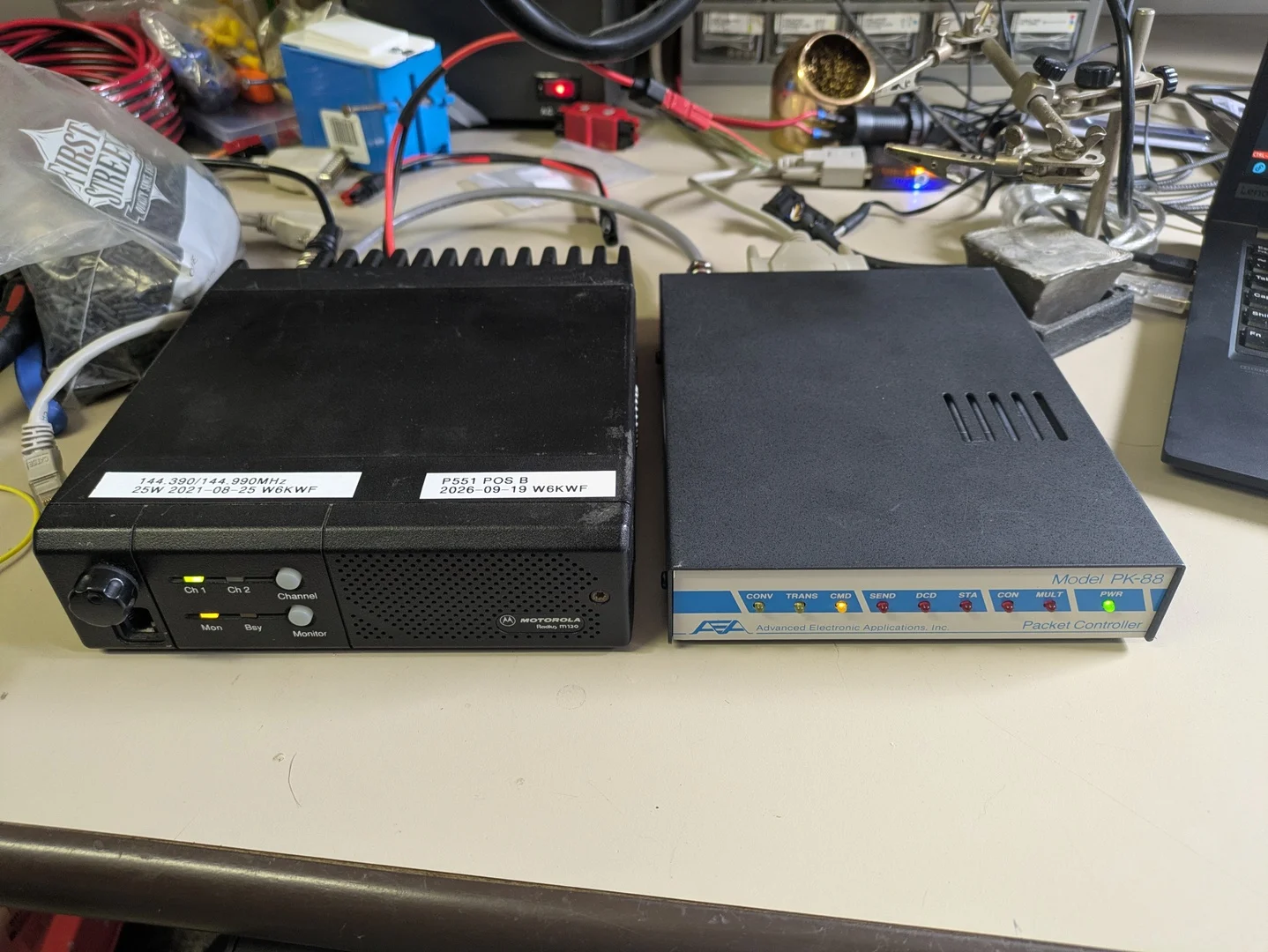
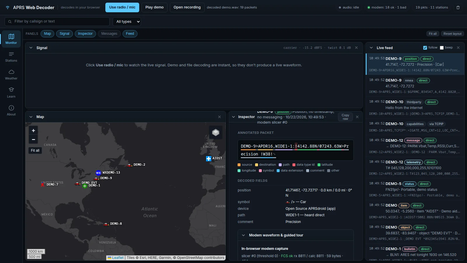
A natural question for hams: how does this relate to APRS? They solve overlapping but different problems. APRS is the established amateur standard for position reporting over RF, and it has a 30-year head start in the ham community. TAK is richer, it carries chat, overlays, photos, files, and missions, not just position beacons, but it was not built for ham-band RF.
The practical answer is to bridge them. The San Francisco Marathon deployment did exactly that: APRS positions from RF were fed into the TAK COP so net control saw both TAK-equipped operators and APRS-only operators on one map. Tools exist to convert APRS into CoT, and OpenTAKServer’s plugin architecture makes this kind of ingestion straightforward. If your group already has APRS infrastructure, you do not throw it away, you fold it into the TAK picture.
If you want a deeper dive on ATAK specifically from a ham perspective, I wrote a separate explainer on ATAK for amateur radio operators that covers the client side in more detail.
What OpenTAKServer Brings
OpenTAKServer is a pure-Python reimplementation of a TAK server, written and maintained by Brian Wallen and contributors. It speaks the same SSL CoT streaming protocol as the official TAK Server, so off-the-shelf ATAK, WinTAK, iTAK, and WebTAK clients connect to it without any special configuration.
The features that matter for a small team or a ham deployment:
- TCP and SSL CoT streaming, the core protocol, encrypted by default.
- Automatic CA generation and per-user certificate enrollment, no OpenSSL command-line gymnastics. The server mints its own certificate authority and issues client certs through the Web UI.
- EUD authentication, groups, channels, and device profiles, proper multi-team organisation, not just “everyone sees everything.”
- Data packages and DataSync, push files, overlays, and mission data to field devices.
- Mission API and video streaming, for richer workflows when you need them.
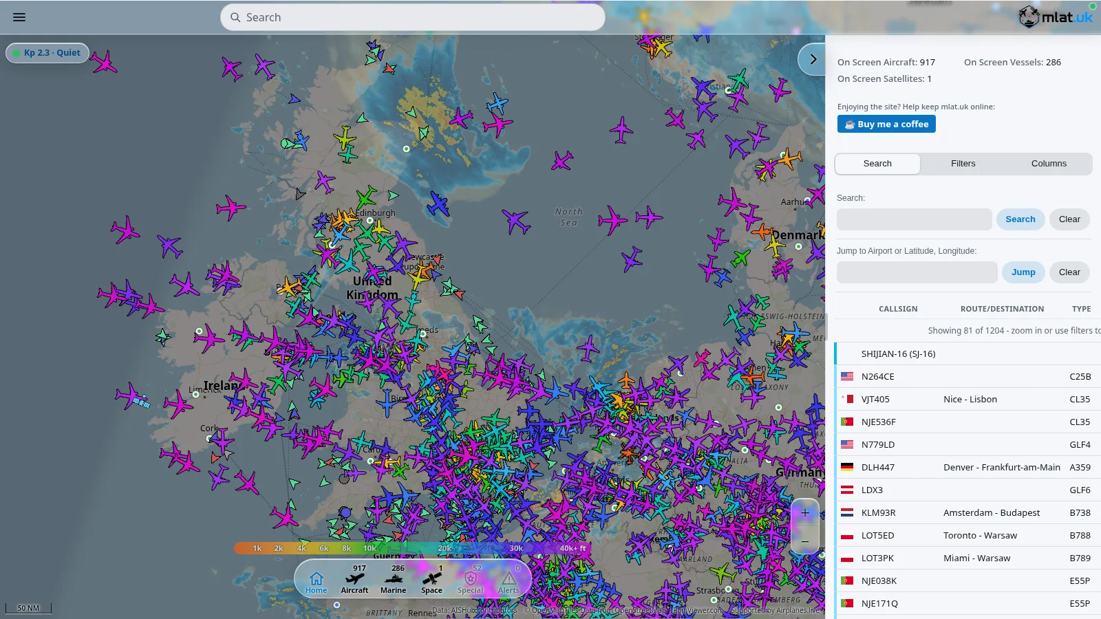
- ADS-B and AIS ingestion, pull live aircraft positions from airplanes.live and vessel positions from AISHub.net straight onto the map.
- Meshtastic bridge, fold LoRa mesh radio traffic into the common operating picture. This is the one that gets hams most excited.
- LDAP / Active Directory and 2FA (TOTP / email), for groups that need real authentication.
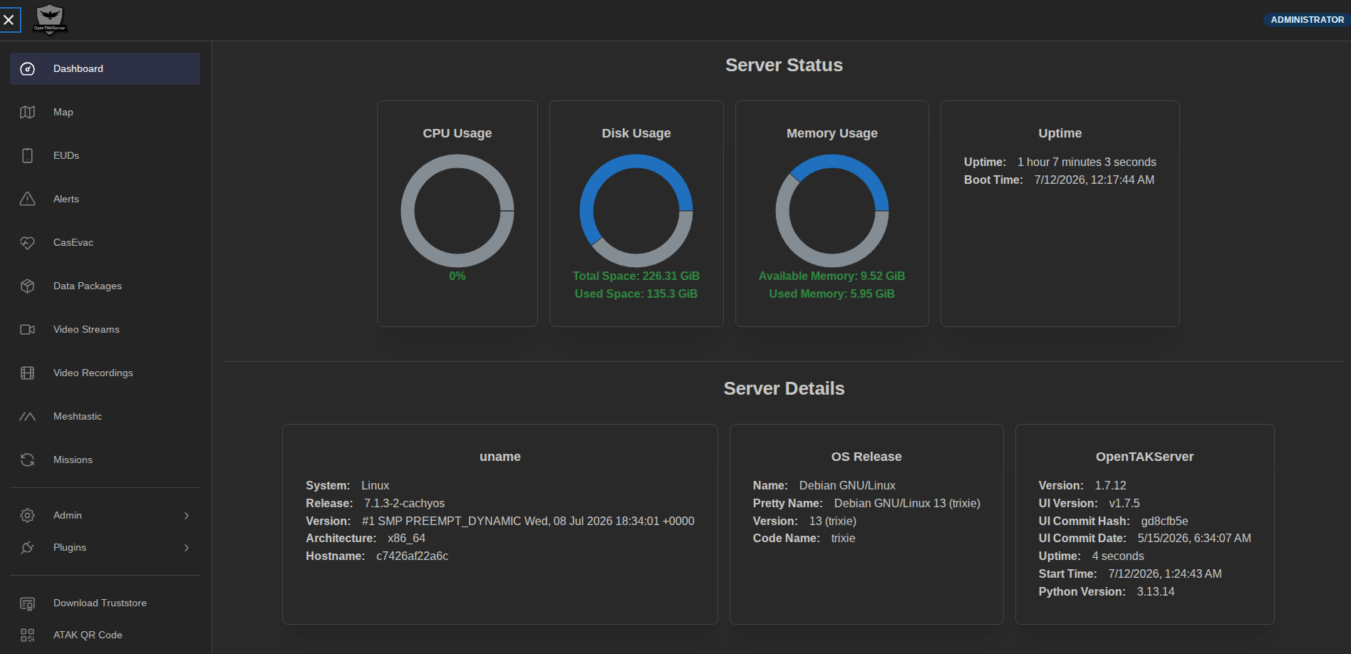
- Web UI with a live map, manage users, certs, and data packages from a browser, and watch the picture update in real time.
It runs on PostgreSQL with PostGIS for proper geospatial storage, and it runs happily on a Raspberry Pi as well as a cloud VPS.
What the Docker Stack Adds
OpenTAKServer on its own is a Python package you install on a host. That works, but it leaves you managing Python versions, a database, a message queue, nginx, and supervisord by hand, exactly the kind of fragile host install that breaks the next time you upgrade the OS.
The 9M2PJU OpenTAKServer Docker repo packages the whole thing into a clean, reproducible Compose stack. What you get:
- Three containers, isolated and scalable, PostgreSQL 16, RabbitMQ 3.13 with the management UI, and OpenTAKServer itself.
- Persistent volumes, database, certs, and config survive container rebuilds. Re-pulling the image does not cost you your users or your CA.
- nginx-fronted Web UI, clean HTTP access on
:8080instead of exposing the raw Flask app. nginx serves the Vue.js OpenTAKServer-UI and proxies/api,/Marti, and/socket.ioback to the Flask backend on127.0.0.1:8081. - Health-checked dependencies, the OTS container will not start until Postgres and RabbitMQ report healthy, which kills a whole class of race-condition boot failures.
- Multi-arch images, runs natively on amd64 (x86_64 servers, cloud VPS) and arm64 (Raspberry Pi 4/5, AWS Graviton, Ampere, Apple Silicon). No QEMU emulation, no arch-specific binaries to chase.
- Pre-built images on GHCR, built by GitHub Actions on every push to
mainand on version tags, so you candocker pull ghcr.io/9m2pju/9m2pju-opentakserver:latestinstead of building from source. Tagged releases also produce:1.7.12,:1.7, and:1style tags. - GPL v3, fully open source, no vendor lock-in, no phone-home.
The Dockerfile is built on python:3.13-slim and layers in nginx, ffmpeg (for video), supervisor, and the OpenTAKServer-UI release, so the container is self-contained. You bring the database password and a RabbitMQ password; the stack brings everything else.
The Architecture, in Plain Terms
Three containers on a single Docker bridge network:
- PostgreSQL 16 holds the users, groups, missions, and CoT history, with PostGIS for the geospatial columns.
- RabbitMQ is the message bus that the CoT parser uses to fan events out without blocking the streaming listeners.
- OpenTAKServer runs the Flask API on
:8081, the SSL CoT streaming listener on:8089(this is the one ATAK connects to), the certificate enrollment service on:8446, and nginx on:8080serving the Web UI and proxying to the API.
ATAK, WinTAK, iTAK, and WebTAK clients connect over SSL on :8089. A browser pointed at :8080 gets the Web UI. The :8081 API port is exposed for direct API or debug access but is normally used internally by nginx.
OpenTAKServer vs FreeTAKServer
The other open-source TAK server most people consider is FreeTAKServer. Both are Python, both run on a Raspberry Pi, and both have a Web UI with a live map. The differences are in the details. The table below is summarised from the official OpenTAKServer feature comparison and the FreeTAKServer repo, and reflects the current stable FreeTAKServer release (2.x is in progress and aims to close some of these gaps).
| Feature | OpenTAKServer | FreeTAKServer |
|---|---|---|
| TCP / SSL CoT | Yes | Yes |
| Actively developed | Yes | 1.x stable; 2.x in progress |
| Automatic CA generation | Yes | No |
| Certificate enrollment | Yes | No |
| EUD authentication | Yes | No |
| Groups / channels | Yes | No |
| Device profiles | Yes | No |
| Plugin / update server | Yes | No |
| Data packages / DataSync | Yes | Yes |
| Mission API | Yes | Yes |
| Federation | Coming in 1.7.x | Yes |
| ExCheck | Coming soon | Yes |
| Video streaming | Yes | Yes |
| Video recording / playback | Yes | No |
| Mumble server auth | Yes | No |
| ADS-B (airplanes.live) | Yes | No |
| AIS (AISHub.net) | Yes | No |
| Meshtastic bridge | Yes | No |
| LDAP / Active Directory | Yes | No (planned in 2.x) |
| 2FA (TOTP / email) | Yes | No |
| Web UI with live map | Yes | Yes |
| Database | SQLAlchemy / PostGIS | SQLAlchemy / SQLite |
| Runs on Raspberry Pi | Yes | Yes |
| Language | Python | Python |
| License | GPL v3 | Eclipse Public License |
The short version: FreeTAKServer has federation and ExCheck today, and is the right choice if those are deal-breakers for your workflow. OpenTAKServer has the richer management surface, automatic CA, certificate enrollment, groups, device profiles, ADS-B, AIS, Meshtastic, LDAP, 2FA, and is the one that feels closer to “a small team’s production server” out of the box. For amateur radio use, the Meshtastic bridge and the AIS/ADS-B ingestion are the features that tend to tip the decision.
There is also the official TAK Server from the TAK Product Center, which is the reference implementation. It is free for government and public safety use but requires an account at tak.gov and is significantly harder to install and maintain. For a ham or a volunteer group, the open-source servers are the practical on-ramp.
A Few Honest Notes
OpenTAKServer is younger than the official TAK Server, and a few features are still on the roadmap. Federation between multiple OTS instances is coming in the 1.7.x line, and ExCheck (the checklist tool) is marked “coming soon.” If you need to federate several servers today, FreeTAKServer is the more honest choice.
The Docker stack is designed to be reproducible, not turn-key secure. The defaults are sane, SSL CoT, a generated CA, health-checked dependencies, but the .env passwords are genuinely yours to set, and the admin Web UI should never be exposed raw to the public internet. Put it behind a reverse proxy, a VPN, or an IP allowlist. Treat it like you would treat any other admin panel: assume it will be probed.
Performance on a Raspberry Pi 4 is fine for a small team or a classroom. For a large multi-agency exercise, give it a real VPS with a couple of gigabytes of RAM and Postgres on disk rather than on an SD card.
Finally, TAK is a tool, not a religion. It is excellent for what it does, and the Docker stack makes it accessible in a way the official server never was. But the map is only as good as the operators feeding it. The discipline of dropping accurate markers and keeping your position current is what actually makes the picture useful. A team that does not keep its dots honest will get a live map of fiction, which is worse than no map at all.
Try It on Your Next Exercise
If your group has been curious about TAK but blocked by the install pain, this is the easiest on-ramp I have seen. Pull the repo, set two passwords, run docker compose up -d, and you have a TAK server your ATAK, WinTAK, and iTAK users can connect to before the coffee is cold.
Stand it up on a spare VPS or a Raspberry Pi for a weekend exercise, hand out client certs to your field operators, and see what a shared live map actually does to your coordination. Pair it with an AREDN mesh or a set of Meshtastic radios and you have an off-grid common operating picture that does not care whether the cell network is up. Once you have run one event that way, it is hard to go back to voice-only net control.
73, and may your dots all be friendly.


3 comments